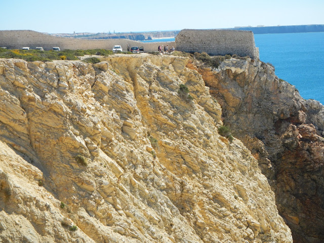
Today is the final day of our hiking journey along the high Algarve Cliffs. We will hike 14 km from Sagres to Cape Sagres and then continue on hiking from Cape Sagres to the end of land at Cape St. Vincente. This is considered the "end of the road" of Portugal.
There is a fort at Cape Sagres where Portuguese Prince Henry the Navigator founded his navigation school in the 15th century. It was also one of the launching points for the brave explorers in their caravels seeking discoveries of new lands and riches over nearly 600 years ago!
The Portuguese believed that Cape St. Vincente is the place where the land ends and the sea begins. They're correct, for Cape St. Vincente is the most southwestern point in continental Europe. Today a majestic lighthouse marks the point where the land meets the sea.
Our 14 km hike today started on Baleeira Beach. As with the other days of our Algarve Coast Cliff hikes, it was another beautiful, cloudless, blue sky and 90 degree day.

The town of Sagres sits high on a bluff overlooking the shoreline and ocean. On one side there is a fishing port,


We started our hike to the top of the cliffs by skirting the edges of the bluffs (that's me on the right).
This portion of the hike was breathtaking.
We passed Cape Sagres with Henry the Navigator's school.
We kept going and rounded the corner
to see Cape St. Vincente in the distance
and at last we saw its lighthouse!
And once we arrived, we looked over the side wall to view this side of the Atlantic Ocean.
It was a hot and truly spectacular hike to
Cape St. Vincente!
From Lagos to Luz, to Salema, to Sagres, to Cape St. Vincente, we had an amazing time hiking the Algarve Coast Cliff trails!


